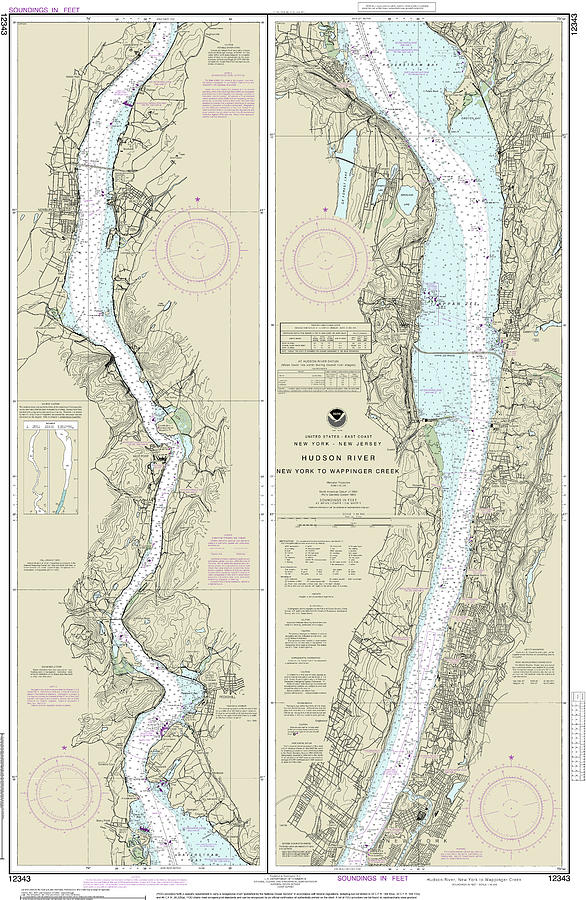
Hudson River New York to Wappinger Creek Nautical Chart 12343 is a piece of digital artwork by John Gernatt which was uploaded on May 26th, 2022.
Hudson River New York to Wappinger Creek Nautical Chart 12343
This is NOAA’s chart number 12343, and it is based on the original, traditional paper nautical chart. It consists of two panels. Coverage of the... more

by John Gernatt
Title
Hudson River New York to Wappinger Creek Nautical Chart 12343
Artist
John Gernatt
Medium
Digital Art
Description
This is NOAA’s chart number 12343, and it is based on the original, traditional paper nautical chart. It consists of two panels. Coverage of the Hudson River extends from New York to Wappinger Creek. The chart’s scale is 1:40,000. This chart covers less area with more details than navigation charts with a scale of 1:80,000. Color shading on the chart indicates various water depths and land elevations. Depth soundings are in feet. Also included on the chart are aids and hazards to navigation. Typically, mariners use nautical charts covering this map scale for inshore navigation. NOAA is phasing out this paper chart and others like it. The phase-out completion date for all paper charts is January 2025. Electronic charts for onboard navigation are replacing paper charts. Certain products in our collection utilize cropped or edited elements on the chart. We remove sections to improve the overall aesthetic quality of the image. Cropping and reprinting charts make them unsuitable for navigation. However, the charts in this collection are ideal for home and business decor. Framed nautical charts make great conservation pieces. Nautical charts printed on other products in our collection make excellent additions to the decor in living areas, bedroom areas, and bathrooms. Nautical charts are also printed on various accessories and apparel.
Significant landmarks and navigational references include the Hudson River, New York, Wappinger Creek, Linwood, Spuyten Creek, Riverdale, Yonkers, Tappan Zee Bridge, Tarrytown, Rockland Lake, Sing Sing Prison, Croton Point, Croton Bay, Harmon, Haverstraw Bay, Oscawana, Stony Bay, Stony Point, Peekskill Bay, Jones Point, Mystery Point, West Point, Constitution Island, Newburgh, Beacon, and Chelsea.
Uploaded
May 26th, 2022


